Kansas and Oklahoma
148 K

Rand McNally Easy to Read! Kansas State Map
69 K

Rand McNally State Maps: Kansas and Missouri (2 Maps)
74 K

USA 08 South rkh r/v (r) wp GPS: Kansas - Oklahoma - Texas
136 K

Rand McNally Folded Map: Kansas City Street Map
118 K

Rand McNally Easy to Read Folded Map: Kansas State Map
44 K

Driving Across Kansas: A Guide to I-70
234 K

Cool Owl Maps Kansas State Wall Map Poster Rolled 24"Wx30"H (Laminated)
107 K
Rand McNally Folded Map: Kansas City Street Map
165 K

Family Maps of Meade County, Kansas
107 K

Leavenworth Map Journal: Vintage Map Notebook
110 K

Rand McNally Easy To Read: Kansas State Map
31 PGK

Family Maps of Ford County, Kansas
319 K

Vintage Lined Notebook Greetings from Kansas, Map
134 K

FISH KISS® Kansas Map Dish Towel, Super Absorbent Kitchen Towel - 16" x 24", Kansas Map Tea Towel, Kansas Map Dish Cloth, Kansas Map Baby Burp Cloth, Kansas Map Bar Towel
246 K

Kansas State Map for Students - Pack of 30
235 K
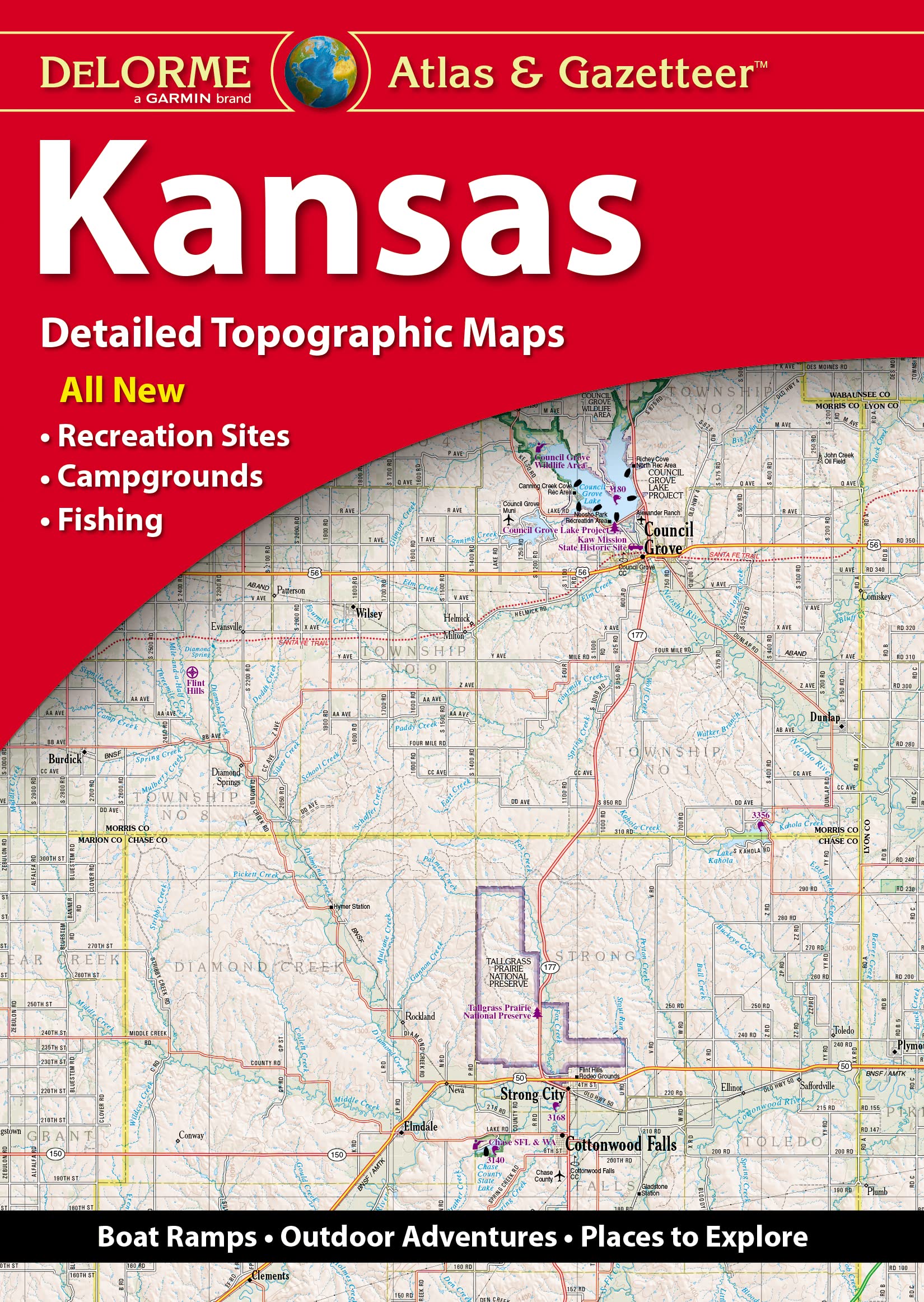
DeLorme Atlas & Gazetteer: Kansas
132 K

The Illustrated Route 66 Historical Atlas
431 K

Historical Atlas of Kansas
323 K

Kansas Map Journal: Vintage 1891 Map of Kansas Notebook (6"x9" Blank Lined Journal, 200 pages)
143 K

Rand McNally Easy To Fold: Kansas & Nebraska State Laminated Map
130 K

Topeka / Lawrence, Kansas Street Map
157 K
Rand McNally Easy To Read Folded Map: Kansas State Map
37 K

Tiger Moon The Tiger Moon Trading Company Ltd Kansas State Physical Map - 16.5 x 27.5 Inches - Paper Laminated
116 K

Kansas City Map Journal: Vintage 1907 Map of Kansas City Notebook (6"x9" Blank Lined Journal, 200 pages)
120 K
Vintage Lined Notebook Greetings from Kansas, Map
159 K
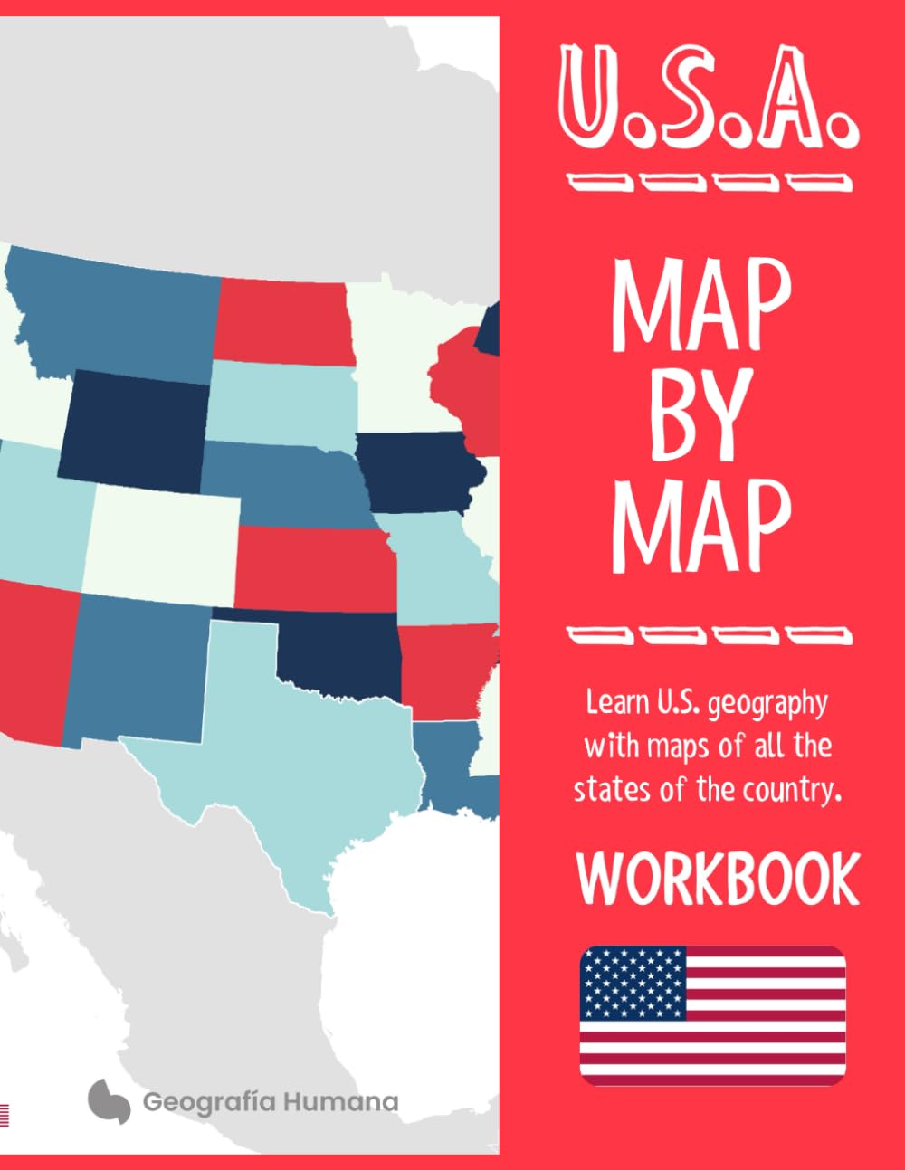
U.S.A. Map by map: Learn United States geography with maps of all the states and territories of the country
103 K

Kansas America USA Map Outline Poker Playing Card Funny Hand Game
100 K

Kansas Map Pull Apart Cooking Kitchen Bib Apron With Pockets Aprons For Women Men Baking Gardening
1,029 K

BLUPARK Kansas City Map Roller Ballpen Kansas Souvenir Gift Kansas Heartbeat Ballpoint Pen Kansas Mom Dad Gift (Kansas)
165 K

Kansas Vintage Map Field Journal Notebook, 50 pages/25 sheets, 4x6
166 K

VERRE ART Printed Framed Canvas Painting for Home Decor Office Wall Studio Wall Living Room Decoration (14x10inch Wrapped) - Kansas Colorful Watercolor Map Print
68 K

Kansas Map Matted Framed Art by Michael Tompsett in Black Frame, 16 by 20-Inch
2,749 K

the Great State of Kansas : notebook Vintage Missouri Map Funny
58 K

Kansas City & Vicinity, Kansas Missouri Regional Map
79 K

Kansas Counties Map - Standard - 36" x 22.75" Laminated
400 K

HISTORIX Vintage 1898 Kansas State Map - 18x24 Inch Vintage Map of Kansas Wall Art Decor - Old Kansas Map Poster Showing County Seats Land Offices Indian Reservations and Railroads
457 K

NFL Kansas City Chiefs Unisex Kansas City Chiefs Mini Roadmap State Sign, Team Color, 12 inch
564 K
Rand McNally Easy to Fold: Kansas & Nebraska State
104 K
Family Maps of Ford County, Kansas
199 K

Rand McNally State Maps: Kansas and Oklahoma (2 Maps)
75 K

Hand-Book to Kansas Territory and the Rocky Mountains' Gold Region: Accompanied by Reliable Maps and a Preliminary Treatise on the Pre-Emption Laws of the United States.
128 K

Kansas, Oklahoma, Missouri and Arkansas Physical Poster Map - 23.3 x 16.5 Inches - Paper Laminated
128 K

Map of Kansas 18x24 - Laminated Wall Map Poster Print Perfect for Classrooms and Homes - Vivid Imagery with Bright Colors
128 K
Family Maps of Ford County, Kansas
196 K

VERRE ART Printed Framed Canvas Painting for Home Decor Office Wall Studio Wall Living Room Decoration (22x14inch Wrapped) - Kansas Colorful Watercolor Map Print
68 K

Kansas State Jumbo Map Magnet
117 K

36x52 Kansas State Official Executive Laminated Wall Map
504 PGK

no/no Kansas America USA Map Outline Basketball Postcard Set Thanks Card Mailing Side 20pcs
200 K

VERRE ART Printed Framed Canvas Painting for Home Decor Office Wall Studio Wall Living Room Decoration (14x14inch Wrapped) - Kansas Colorful Watercolor Map Print
54 K
Rand McNally Folded Map: Kansas City Street Map
61 K

VERRE ART Printed Framed Canvas Painting for Home Decor Office Wall Studio Wall Living Room Decoration (22x22inch Wrapped) - Kansas Colorful Watercolor Map Print
95 K

Family Maps of Meade County, Kansas
340 K

Kansas State Wall Map - 20.75" x 18.5" Laminated
1,479 K

VERRE ART Printed Framed Canvas Painting for Home Decor Office Wall Studio Wall Living Room Decoration (34x22inch Wrapped) - Kansas Colorful Watercolor Map Print
138 K

Kansas City Map Coaster, Set of 4, Sapele Wooden Coaster with city map, Multiple city optional, Handmade
1,059 K
Nacnic Poster with map of Kansas City - USA. Sheets US cities with seas and rivers in black color. A4 size
151 K

IndiHaatStore Fridge Magnet of Kansas, The Sunflower State, USA, United States of America, Map Shape and Magnet, Yellow with Green Outline, State Rubber Magnet Size 2.25x1.25 inches Approx
77 K
Family Maps of Meade County, Kansas
197 K

Eleville 11X14 Unframed Kansas United States Country View Abstract Road Modern Map Art Print Poster Wall Office Home Decor Minimalist Line Art Hometown Housewarming wgn173
204 K
Rand McNally Easy to Read Folded Map: Kansas State Map
100 K

Outlines Of Kansas History: With Notes, Maps And References
98 K
Get the App